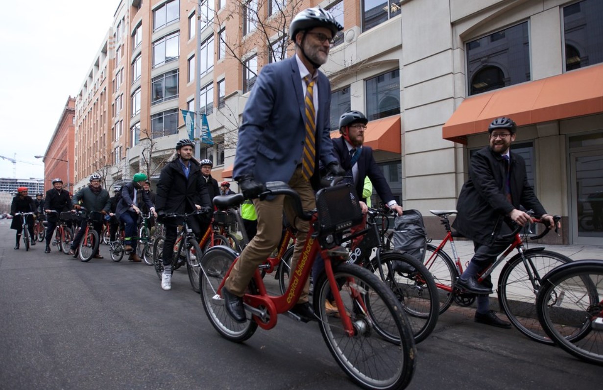
Cycling is becoming more popular in cities around the world, especially after the COVID-19 pandemic. However, many cyclists face challenges in finding the best routes and navigating the urban streets. The existing map apps are not very helpful, as they often ignore the needs and preferences of cyclists. How can cities improve their bike maps to encourage cycling and make it safer and easier for everyone?
The Rise of Cycling in Cities
Cycling is a healthy, sustainable, and affordable way of transportation, especially in urban areas. Cycling can reduce traffic congestion, air pollution, greenhouse gas emissions, and noise. Cycling can also improve public health, social equity, and economic development.
The COVID-19 pandemic has boosted the demand and supply of cycling in cities, as people sought alternatives to public transport and car travel. According to the data from, bicycle sales increased by 46% in 2020 compared to 2019, and bike trips increased by 27% in 2020 compared to 2019. Many cities responded by expanding their bike infrastructure, such as bike lanes, bike parking, and bike sharing. According to the data from, cities added more than 2,300 kilometers of new bike lanes in 2020, a 50% increase from 2019.
However, cycling in cities is not without challenges. Many cyclists face safety risks, such as collisions, theft, and harassment. Many cyclists also face accessibility issues, such as lack of connectivity, signage, and information. Many cyclists rely on map apps, such as Google Maps, to plan and navigate their trips, but these apps are not very user-friendly or accurate for cyclists.

The Limitations of Existing Map Apps for Cyclists
Map apps, such as Google Maps, are designed mainly for drivers and pedestrians, not for cyclists. They often fail to consider the specific needs and preferences of cyclists, such as:
- The type and quality of the bike infrastructure, such as bike lanes, bike paths, bike boulevards, and bike bridges. Map apps often do not show the difference between protected and unprotected bike lanes, or between paved and unpaved bike paths. Map apps also often do not show the gaps and barriers in the bike network, such as intersections, crossings, and dead ends.
- The terrain and elevation of the route, such as hills, slopes, and curves. Map apps often do not show the elevation profile of the route, or the difficulty level of the terrain. Map apps also often do not offer alternative routes that avoid steep or rough terrain, or that offer scenic or pleasant views.
- The traffic and weather conditions of the route, such as congestion, speed, and accidents. Map apps often do not show the real-time traffic and weather information of the route, or the impact of these factors on the travel time and safety of the cyclists. Map apps also often do not offer alternative routes that avoid busy or dangerous roads, or that suit different weather conditions.
- The personal and social preferences of the cyclists, such as speed, comfort, and enjoyment. Map apps often do not allow the cyclists to customize their route preferences, such as the preferred distance, duration, or difficulty of the trip. Map apps also often do not offer social features, such as sharing, rating, or reviewing the routes, or joining or creating cycling groups or events.
These limitations of map apps can discourage or frustrate cyclists, and prevent them from enjoying the full benefits of cycling in cities.
The Solutions and Opportunities for Better Bike Maps
Cities can improve their bike maps to encourage cycling and make it safer and easier for everyone, by adopting the following solutions and opportunities:
- Collect and update the data and information of the bike infrastructure, such as the location, type, quality, and status of the bike lanes, bike paths, bike parking, and bike sharing. Cities can use various methods and sources, such as surveys, sensors, cameras, drones, crowdsourcing, and open data, to collect and update the bike data and information.
- Analyze and visualize the data and information of the bike infrastructure, such as the usage, performance, and impact of the bike lanes, bike paths, bike parking, and bike sharing. Cities can use various tools and techniques, such as GIS, AI, ML, and big data, to analyze and visualize the bike data and information.
- Design and optimize the routes and navigation for cyclists, such as the best, fastest, safest, easiest, or most enjoyable routes for different types of cyclists, bikes, and trips. Cities can use various algorithms and models, such as routing, optimization, and recommendation, to design and optimize the routes and navigation for cyclists.
- Provide and communicate the routes and navigation for cyclists, such as the directions, instructions, and feedback for the cyclists along the route. Cities can use various platforms and devices, such as websites, apps, maps, signs, and voice, to provide and communicate the routes and navigation for cyclists.
- Engage and empower the cyclists and the community, such as the feedback, participation, and collaboration of the cyclists and the stakeholders in the planning, development, and improvement of the bike infrastructure and maps. Cities can use various strategies and mechanisms, such as gamification, incentives, and co-creation, to engage and empower the cyclists and the community.
By improving their bike maps, cities can not only enhance the experience and satisfaction of the cyclists, but also attract more people to cycle, and create more livable and sustainable cities.
